


A transdisciplinary urban practice committed to driving change from the ground up.
Who We Are
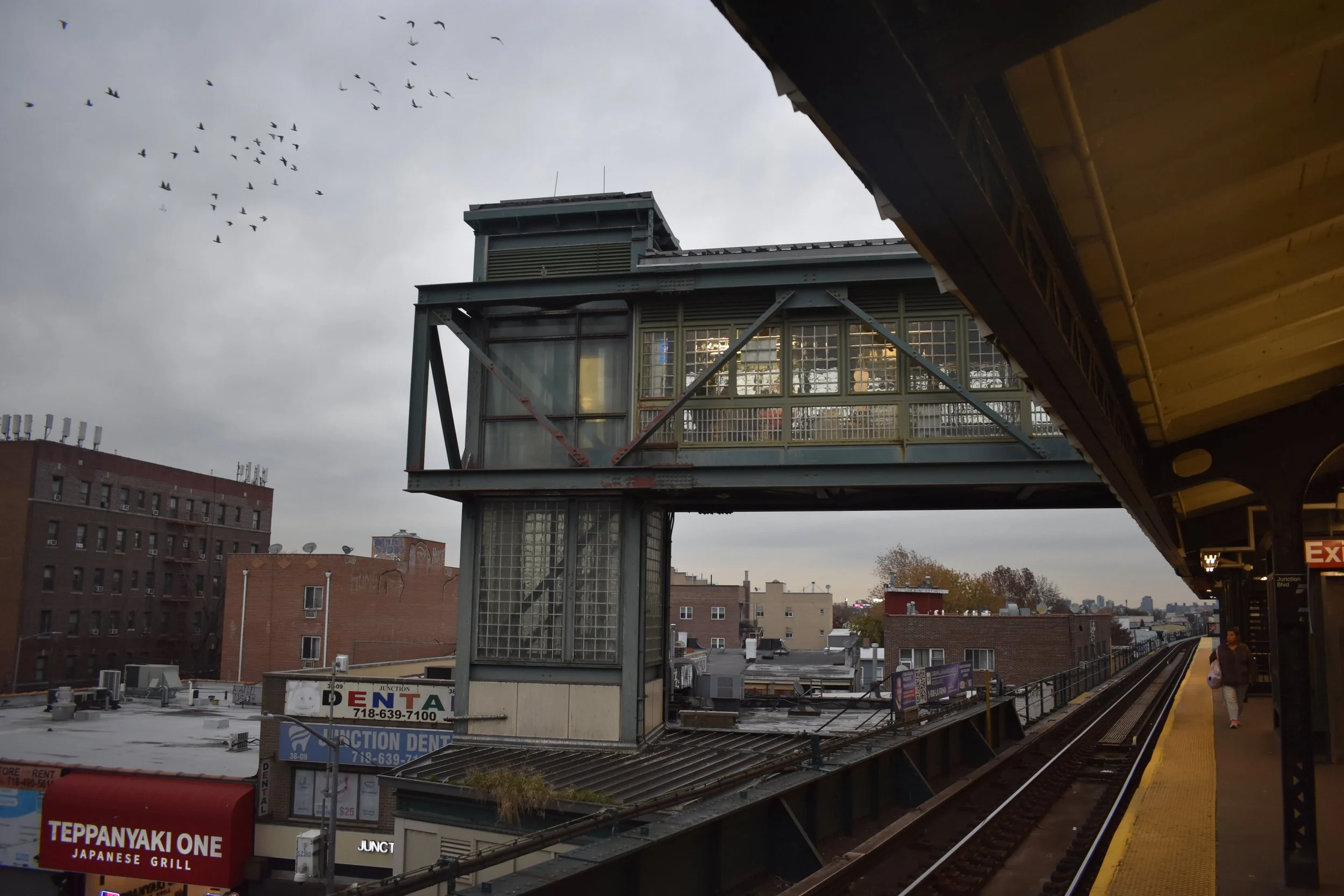
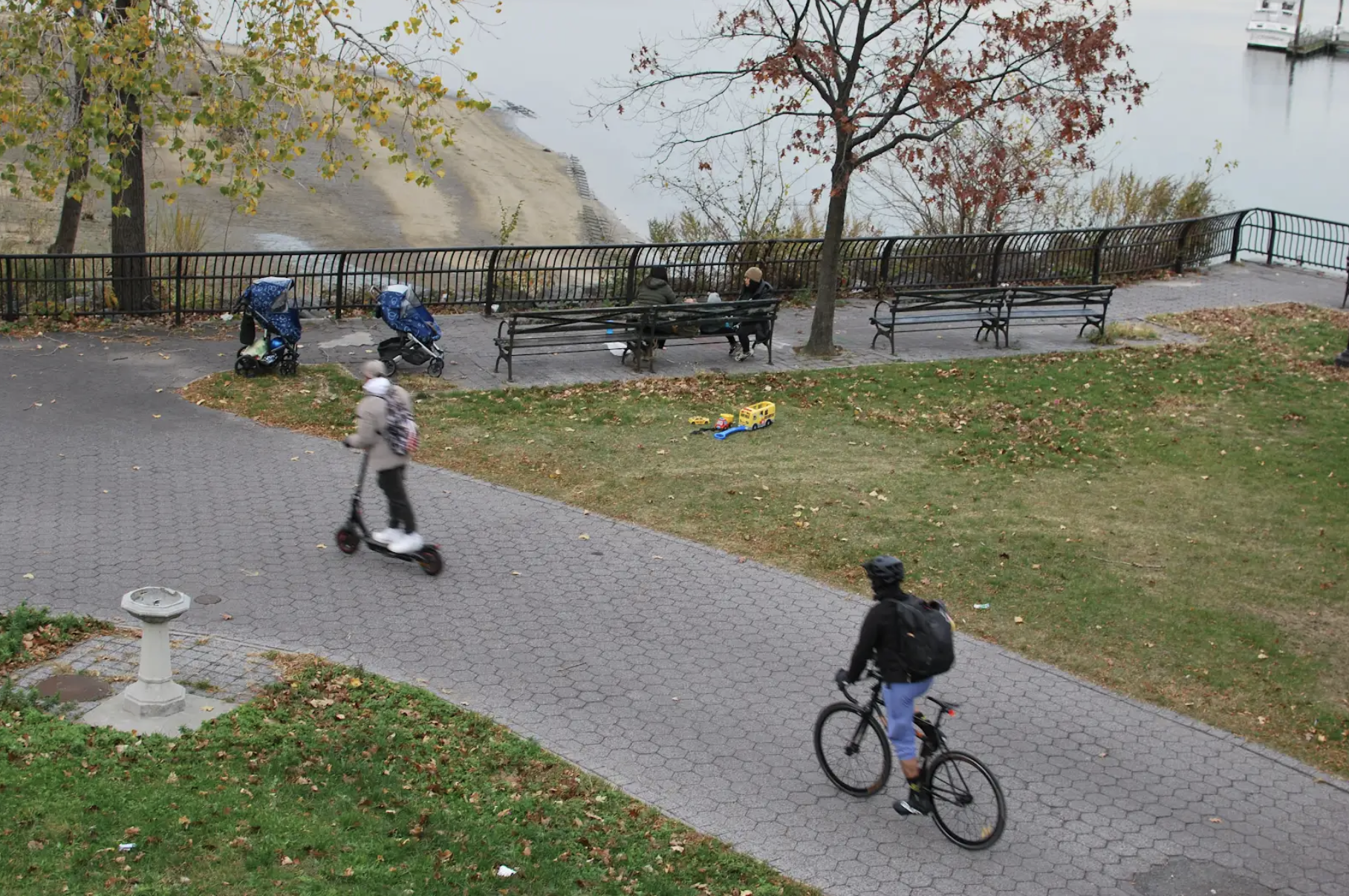
We are a New York City–based, transdisciplinary urban practice working at the intersection of planning, data, and design. We collaborate with community-based organizations, public agencies, and the private sector to support projects that advance more just cities.
Founded by New Yorkers trained in city planning at MIT, GROUND3D brings experience working across public-sector planning, civic technology, and community-led initiatives.
What We Do
GROUND3D supports project teams in the public, non-profit, and private sector by bringing a community-centered lens to data analytics, urban and graphic design, inclusive economic development, and strategic planning. Our practice is structured to meet that need and to integrate seamlessly into interdisciplinary project teams.
We work with you to deliver value to communities through:
Data + Tools Applied analysis and tools that inform decisions and guide action.
Planning + Engagement Grounded, neighborhood-scale planning informed by lived conditions.
Communications + Design Visual systems and platforms that clarify strategy and support delivery.
New York City, New Yorkemail: info@ground3d.xyz© 2026 GROUND3D. All Rights Reserved.